

Document the progress. Keep everyone informed.
Give project teams a consistent progress record, with mapping and measurements available when the work needs more detail.
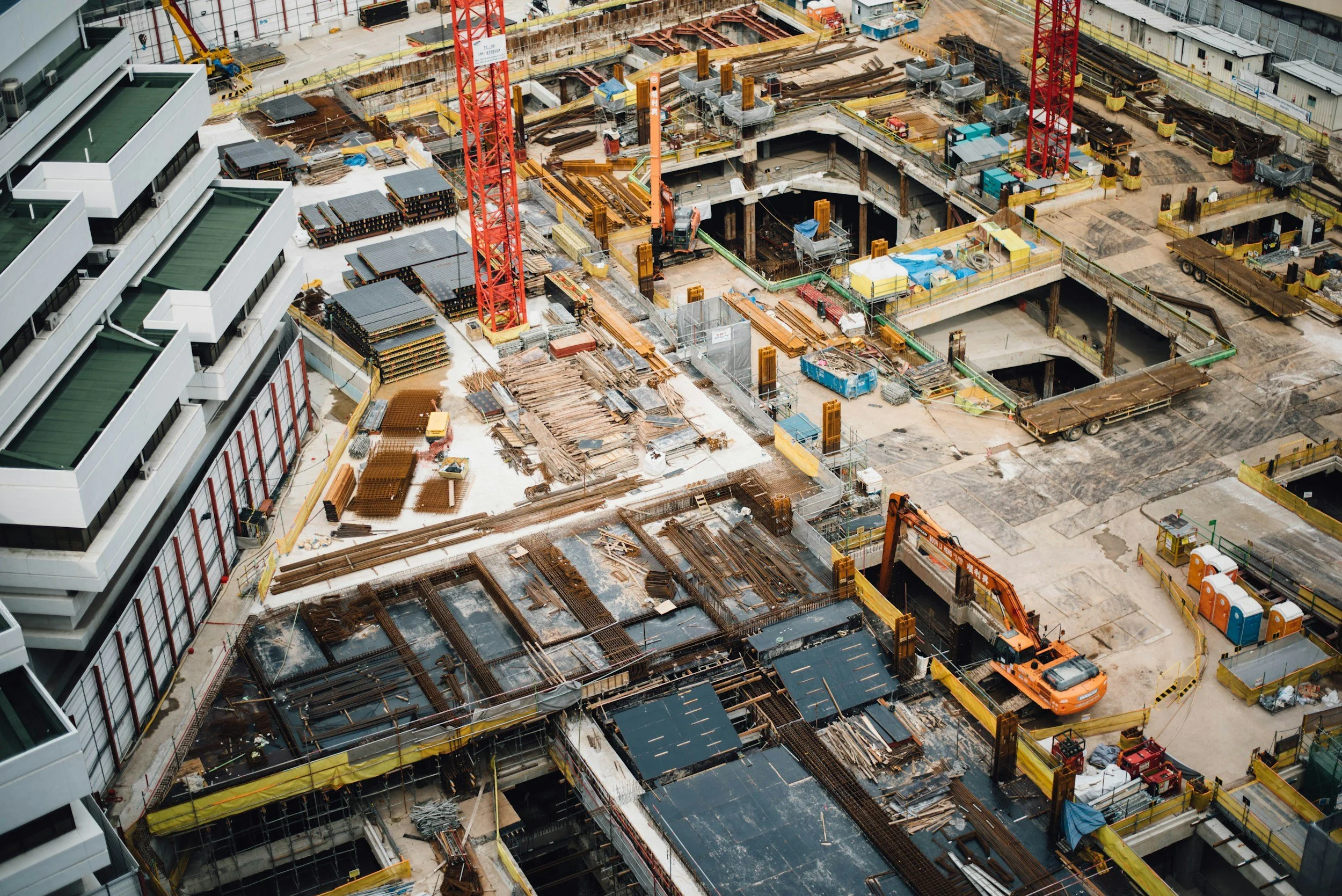
How is our project progressing?
Give your team a consistent visual record of completed work and progress since the last visit so everyone can follow the same project update.
Labelled progress photographs
Edited site overview video
Progress report
Comparison with previous captures where available.
Photo register
Add the technical detail your project needs.
Select additional mapping and measurement services to suit your scope.
Orthomosaic site maps
View the whole site in one detailed, georeferenced overhead image, showing work areas, access routes and material storage locations. .
3D site models
Explore captured terrain, structures and site features in three dimensions.
Site profiles and cross sections
See how ground levels change along a selected line such as an access road or earthworks section.
Stockpile volume measurements
Calculate material volumes using an agreed base or reference surface.
Surface and elevation mapping
Model visible surface heights, slopes and level differences across the site.
Site measurements
Measure defined distances, areas and height differences, such as road lengths and work area footprints.