

Understand your operation.
Track changes.
Know what material you have, where development is progressing and how your operation is changing with aerial mapping, measurement and reporting.
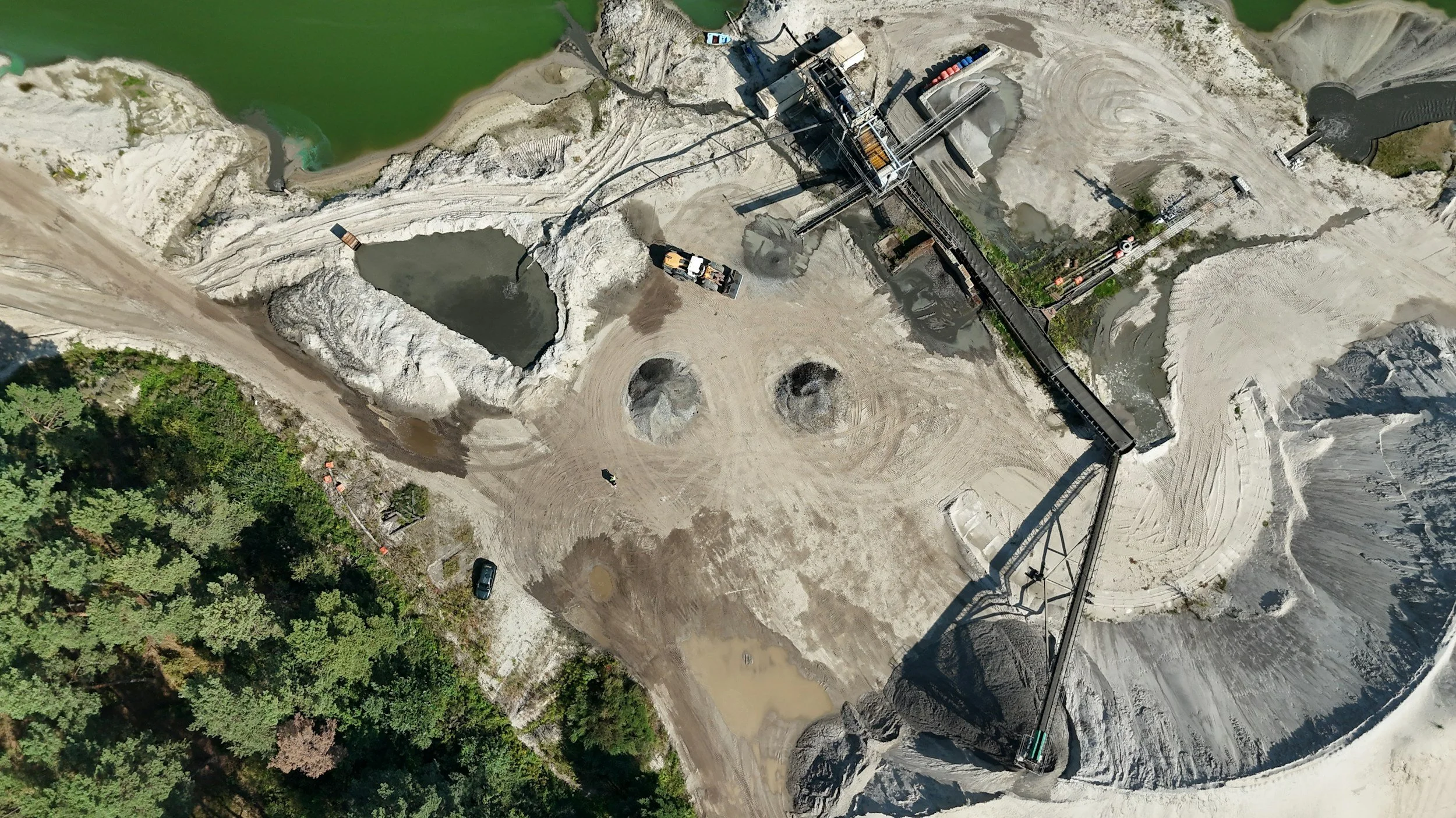
Clear answers for your mining operation.
Combine all three services in an Integrated Mining Intelligence Report, or commission only the services you need.
Material & InventoryWhat is on our site and how much material do we have?
Stockpile volumes, orthomosiac site maps, inventory registers and changes over time
Production & DevelopmentHow is development progressing?
Pit and bench progress, terrain changes, 3D surfaces and profiles.
Environmental & Rehabilitation?How is our land changing?
Disturbance mapping, erosion and visible rehabilitation progress
Go further with technical analysis.
Cut-and-fill analysis
Compare defined surfaces and earthwork volumes.
Inventory reconciliation
Compare measured volumes with supplied inventory records.
Design vs actual
Compare captured site data with supplied design information.
Bench, haul-road &tailings geometry
Measure agreed slopes, widths, heights and profiles.
Specialist technical review
Professional review arranged where required by project scope. Measure agreed slopes, widths, heights and profiles.